Todd Sloat scans for wildlife at the Ash Creek Wildlife Refuge. Pit River Watershed Alliance White space Interactive Watersheds US Map
Interative Journey White space
Home Background Interactive Journey Resource Issues Community Center Partners Site Index Navigation bar.

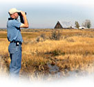
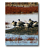
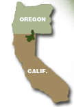
The Upper Pit River Watershed is located in northeastern California and covers approximately 4,324 square miles, or 2.8 million acres. Timber production, ranching and farming fuel the local rural economy “where the west still lives.” A backdrop of high mountain peaks in the Warners and southern Cascades form a diversity of landscapes from mixed conifer forest at higher elevations to the extensive wetlands of the valleys.

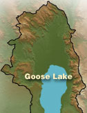
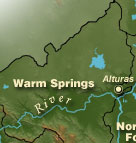
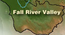
This digital terrain map outlines the watershed project area and five distinct geographic sections. Begin your exploration by choosing to view any one of these areas. This will take you to a closer and more detailed terrain map. From there you can choose spots to begin a Virtual Tour while viewing high quality, interactive and immersive 360 degree panorama views.

Enjoy your "Interactive Journey" into the watershed.

Geese rest on an island in the Modoc Wildlife Refuge.
Vertical Line Elevation Color Key Interactive Journey Map
Interactive Journey Map Goose Lake Interactive Journey Map
Interactive Journey Map Warm Springs Goose Lake
Interactive Journey Map
Interactive Journey Map Big Valley Warm Springs`
Big Valley
Interactive Journey Map Big Valley Warm Springs North/South Fork Pit
Interactive Journey Map Fall River Valley Big Valley
Big Valley North/South Fork Pit
Locater map Interactive Journey Map
Big Valley Interactive Journey Map
Interactive Journey Map Fall River Valley Big Valley
Interactive Journey Map