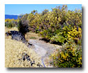
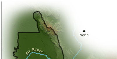
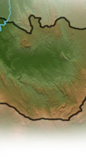
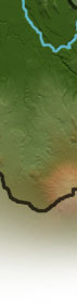
| At the southern limits of the watershed, the Fall River Valley provides breathtaking views of the surrounding Cascade Range volcanoes. In addition, one of the largest springs in the country emerges at the northern end of the valley, south of an enormous lava flow of black basalt. Permanent pasture and perennial crops, including alfalfa and mint, provide a “green wave” across the valley floor bottom. Wild rice provides habitat for a diversity of waterfowl and shorebirds during fall and spring migration. Many sportsmen in pursuit of Canada geese and mule deer enjoy the surrounding mountains and rugged country.
Your journey will continue by exploring any of the interactive 360 degree panorama views on the map.
To experience the exciting multimedia panoramas, video and audio-visual stories, you'll need the QuickTime player. Please see the Plug-In Information.
|