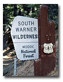
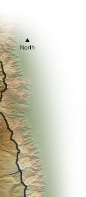
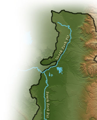
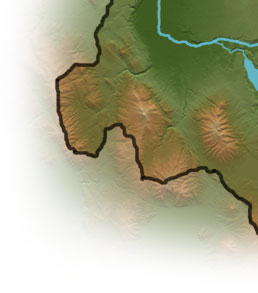
| Diversity of outdoor recreation opportunity is the hallmark of the headwaters of the Pit River. At the crest of the watershed lies the uncrowded Warner Mountains Wilderness, capped by Eagle Peak at just under 10,000 feet. Some of the finest hunting and fishing anywhere can be found on the slopes and in the valleys. Hikers, mountain bikers, equestrians and off-road vehicle enthusiasts will find a lifetime of roads and trails to explore. Wide open spaces with abundant wildlife thrill all come here.
Recreation holds the promise of diversification in the lagging economy of the region, but we are concerned about how to retain our small community values as we welcome visitors in greater numbers to the place where we live and work.
Your journey will continue by exploring any of the interactive 360 degree panorama views on the map.
To experience the exciting multimedia panoramas, video and audio-visual stories, you'll need the QuickTime player. Please see the Plug-In Information.
|